One of the perks of self-employment, probably the biggest one, is being able to use your time as you see fit. So feeling like I needed a mental health day in the mountains I took a nice long hike on Thursday.
The temperature started at around 45º but it was going to warm up with sunny skies. It did eventually reach 65º. I was probably underdressed for the start in shorts and a shirt but I always say you need to dress for the weather you want. I’m not foolish so I do carry extra layers in case that doesn’t work out.
One of the ways I decide to where to hike is looking at my past GPS tracks and look for missing segments. This is just one handy feature of having OCD. I have long had a gap in the Overlook Trail between Overlook Mountain and the Devils Kitchen. I’ve done this trail from both ends many times but not hiked the whole distance between the two trailheads with a GPS. Yes, I did walk the trail from Devils Kitchen to the Fire Tower on Overlook many years ago pre-GPS but that doesn’t count for GPS enabled OCD. I decided to rectify this glaring omission.
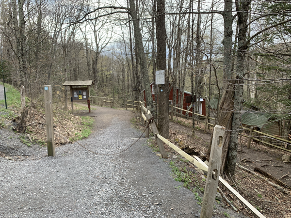
I started this walk from the Northeast end at the trailhead in the Platte Cove Preserve. In peak season it’s difficult, if not impossible, to park at the preserve due to the waterfalls accessible via a few short hikes. On this weekday spring morning I was only the second car here.
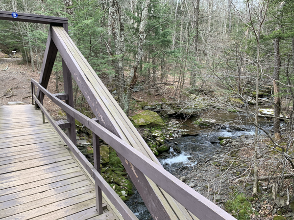
Having visited the falls here several times I made good time heading through the preserve to where it connects to the the Devils Path heading towards the Devils Kitchen Lean-to. It was one of those days where you seem to have boundless energy and I made good time.
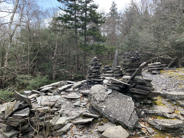
At the junction to the Devils Path is the first of many old bluestone quarries to be seen along this route. In the 19th century much of this area was dedicated to extracting bluestone and supplying it to local cities for their sidewalks and other use. Today the quarries are mostly used by rock stacking and chair building aficionados.
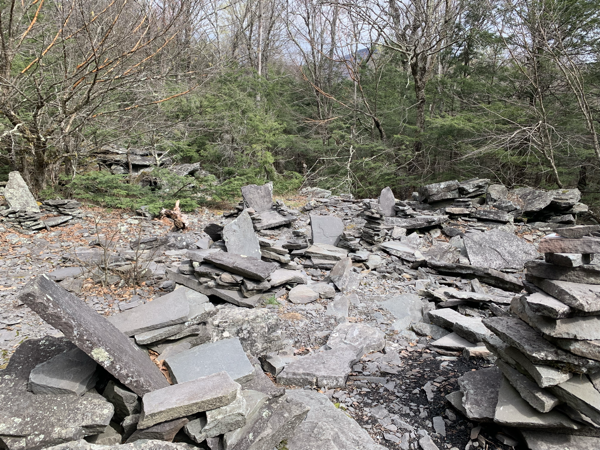
It’s interesting to poke around these areas to see how widespread the quarry work was. I suspect many hikers walk past much of this without even noticing. Nature has a way of reclaiming these areas and unlike other quarries that tend to leave huge holes in the ground, these are more surface level and little remains to be seen but stack of rock and a few larger pieces of stone that look ready for market but never made it out of the woods.
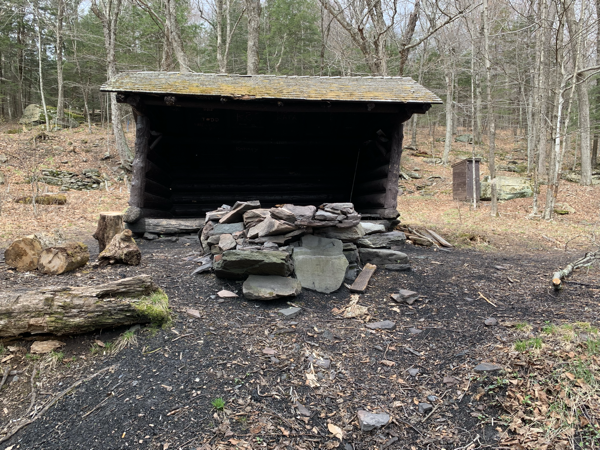
A short distance from where the preserve trails join the Devils Path is the Devils Kitchen lean-to. This is great camping spot being situated right on a creek. The lean-to has seen better days and the lean in this case is from the structure tilting to the right quite a bit.
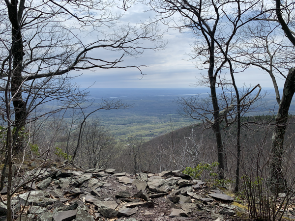
Further along the trail is a larger quarry. It has some nice views out to the Hudson River. 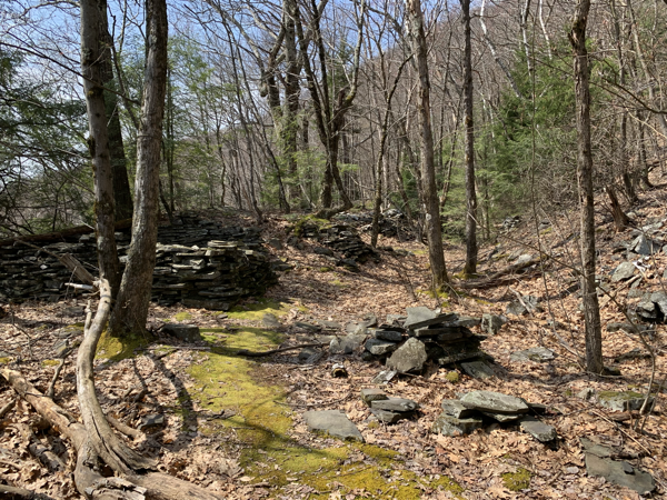
This quarry is on a spur trail off the Devils Path that parallels the trail for about a half mile. There was extensive work done here long ago and it’s interesting to see and imagine all the work happening in these now quiet woods. While you may feel a long way from civilization at this point, the Devils Path was originally a road so the quarry would have been well situated to get the stone to market,.
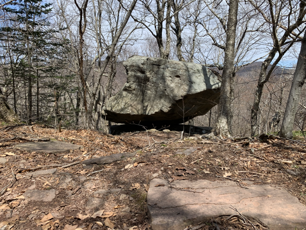
This section of trail is also a designated bike trail and for long stretches the grade is gentle and it’s not your typical Catskill trail that reminds you more of a stream bed than trail. A mile or two after the quarry spur trail is the trail to Echo Lake. The area around the lake is a bit too popular and any time I’ve visited it was a bit trampled over. I decided to skip it for today.
In another mile or so the trail begins to climb but not too aggressively. The trail skirts the edges of Overlook mountain winding around to the area most often accessed via the southwestern trailhead on Meads Road across from the KTD Monestary. The Monestary itself is worth visiting if you’re passing through that end of the woods.
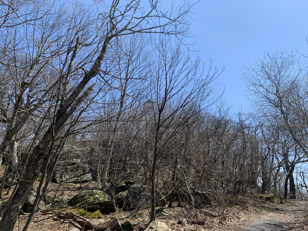
As you wind around and climb to the peak of Overlook Mountain you can begin to make out the tower above the trees (yes, it’s in that picture above.) This area is also notorious for rattlesnakes but I didn’t see any on this day in spite of the warm sun that they normally enjoy. Yes, the Catskills (and parts of the Adirondacks) do have a rattlesnake population.
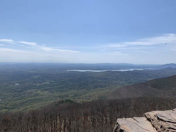
I’ve been to this tower many times and while the view from the tower is great I always enjoy the stone ledge views that most certainly led to this mountain getting its name. The view above is of Ashokan Reservoir with the village of Woodstock nestled in the trees as well.
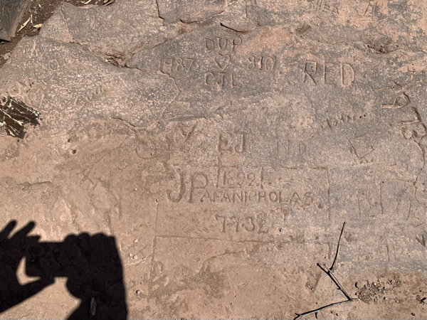
These rock ledges in the Catskills have long been popular and many prior visitors have carved their names into the rock. Here are samples dating back to 1892 and there are many earlier carvings as well.
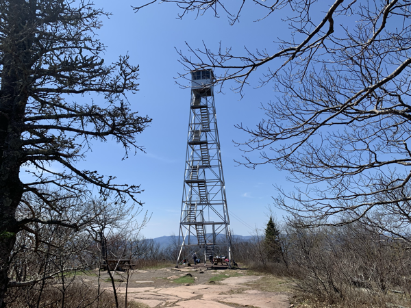
The tower was looking sharp against the bright blue sky and people were picnicking at the base on this near perfect day.
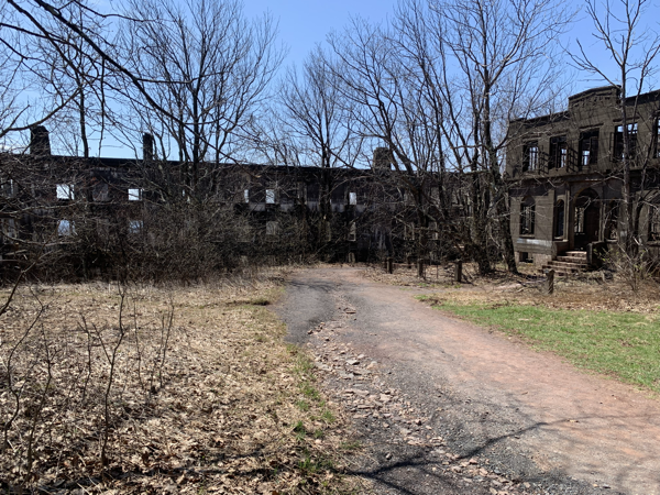
Heading back I detoured briefly into the ruins just below the peak. The ruins were to be a hotel but were never fully completed. They replaced earlier iterations of the hotel that burned. Always fun to wander and a great spot for photos.
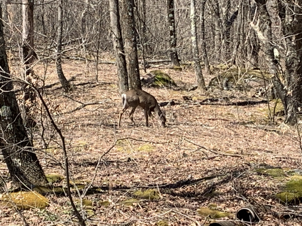
On the return trip, just below the summit a spooked a deer who was probably drinking at the stream as it crossed the trail. The deer didn’t run off and probably wanted me to move along so it could get back to doing deer things.
The walk back was scenic but uneventful. It is one of those rare Catskill hikes where the terrain underfoot is mellow enough that you can glance off the trail. Evidence of more quarries are seen if you look. At one point I spotted what looked like a bluestone stair tread, a piece of stone about one foot by four feet. I then found several more similar stones just off the trail. It’s not clear if this was a remnant of a structure or materials that were going from the quarries to a building somewhere far off. Being stone they were as good as new and if I had the means I would have gladly carted them home and put them to use.
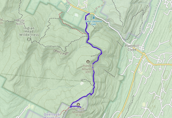
This round trip on a perfect spring day covered 10.6 miles with a gentle ascent of over 1,400 feet. Now that section of trail is filled in. Time to find more gaps and get back out there.