Had a break from work on Friday and the temps were hovering around 50º for a bit so I needed to get out in the woods. I didn’t have time for an all day trip so I headed back to the Pittsfield State Forest and its web of tangled ATV/Hiking trails.
The trails in this forest are accessed from several different trailheads so I figured I’d try a new approach. The first trailhead had private signs marking the road barrier. I had my doubts if that was a legit warning as the road is still on the map as a public right of way but since there is another trailhead about a mile away I decided to try that alternative.
The official road ends at about 1,400’ of elevation and there was only a bit of old snow on the road as it entered the woods. The wind was picking up and the 50º temperature was not going to last.
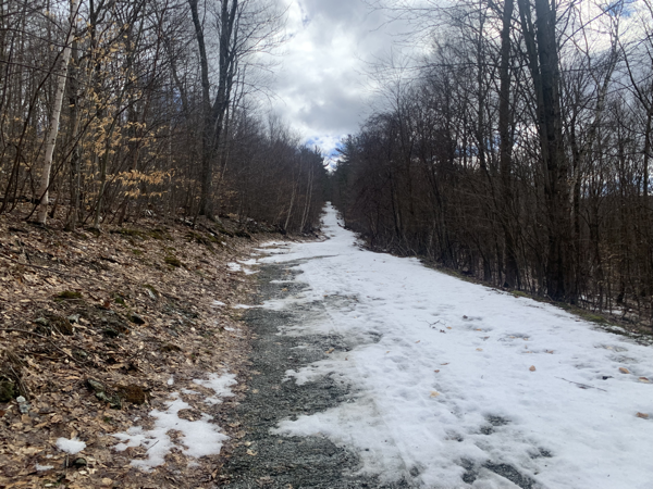
Due to this still being a “road” on smaps both sides had private property for about 3/4 mile before getting into the actual state land. There was quite a bit of evidence of logging including run down trucks, equipment and rough barn buildings.
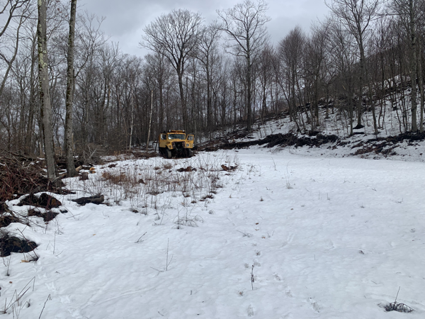
After entering the state forest section the snow was deeper and there was some ice on the trail. This trail is also for ATV/Snowmobiles so it is basically a rutted track in spots sometimes 5 feet or more wide and a few feet deep. This does not give the meltwater anywhere to go so it freezes into a bobsled run in spots. Nothing that can’t be walked around and the snow/ice was melting quickly.
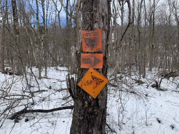
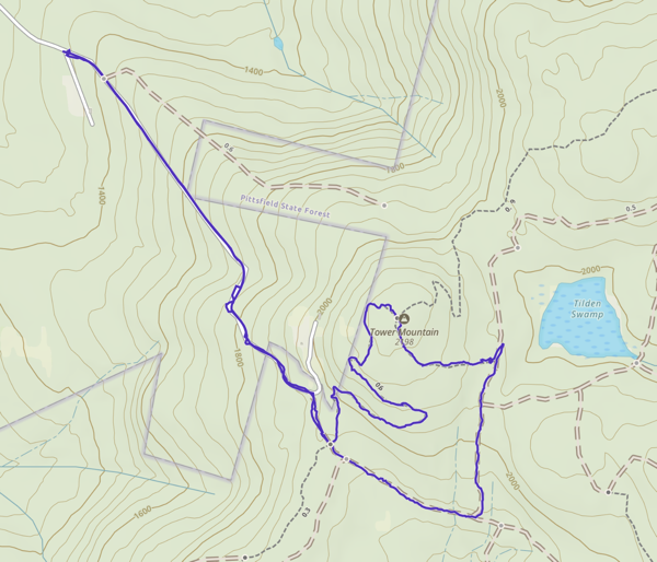
There are so many intersecting trails for all sorts of purposes that you need to keep an eye on the map or GPS. You never get so far off into the wilderness that you will be lost for long but you could easily come out of the woods miles from where you parked.
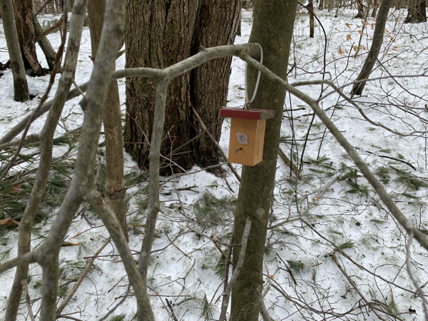
I spotted this tiny birdhouse like item hanging from a tree at the junction to the Tower Mountain trail. The whole thing might be 3 inches tall. No clue what it is. You always see interesting things in the woods if you stop and look.
Tower Mountain is named for the former firetower that once stood on its peak. The tower is long gone but a sign remains to mark the spot.
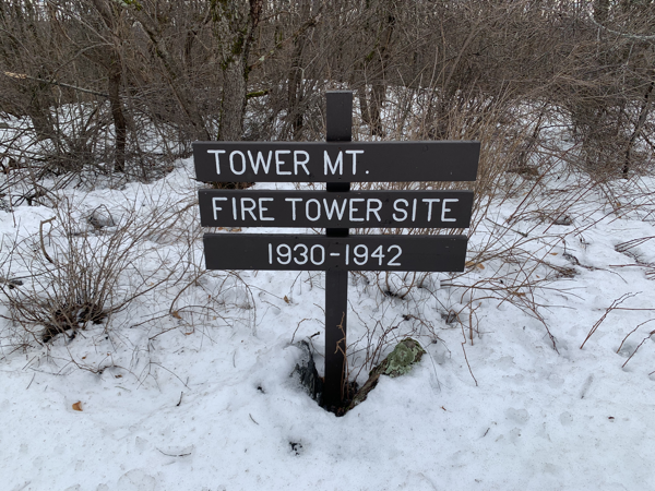
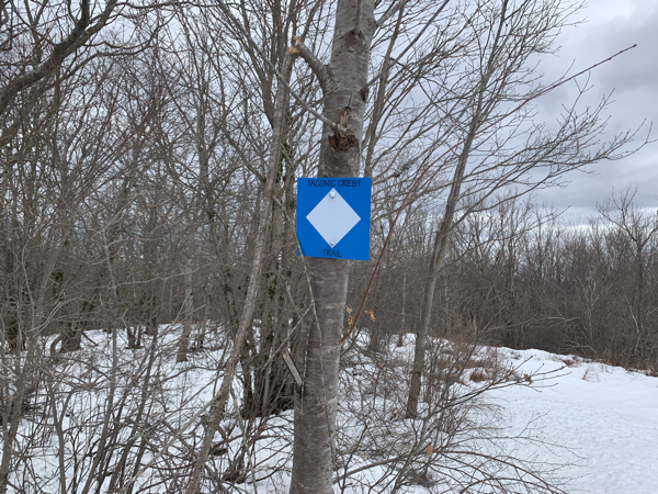
Upon reaching the summit of Tower Mountain, the wind was really picking up and the temperature had dropped from the elevation gain as well as the front apparently moving in. I elected to not go much further so I picked a trail that would circle back to the car via the Taconic Crest Trail. This trail intersects the various ATV tracks all through the woods up here but is in better shape than the machine trafficked trails due to it being lightly used and only by hikers. The Taconic Crest Trail straddles the border between NY/VT & MA for over 30 miles along the ridge of the Taconic range. I’ve walked most of this trail in bits and pieces. It’s a very nice quiet trail that visits some interesting spots. One day it would be nice to make a weekend trip of the entire trail.
Covered just under 3.5 miles with 630 feet of climbing. While micro-spikes would have been helpful in spots there was nothing that could not be avoided. The biggest issue besides the wind gusts was the rate of melting snow causing it be very wet and some cold feet.
After several hikes in this area, I’ve only scratched the surface what’s here. I’ll be back again soon.